Phone Number
+91-361- 258 2450
Welcome to Department of Civil Engineering

Associate Professor Ph.D. (Indian Institute of Technology Bombay, Mumbai, India)
0361-258-3340 rbharti[at]iitg.ac.in
Research Area: Snow and Glacier Studies (Dynamics and Mass Balance), Micro-Climate Modeling, Tectonic Geomorphology, Landslide Susceptibility, Ocean-Atmospheric Interactions, Liquefaction Potential Evaluation, and Subsurface Investigation using Ground Penetration Radar (GPR) are my primary research areas.
M-08 (M Block), Department of Civil Engineering, Indian Institute of Technology Guwahati, North Guwahati, Guwahati, Assam 781039, India
Thesis Title: A Study on the occurrence of Surficial Uranium in the Thar Desert, India using Remote Sensing, Geochemical, Radiometric and GIS techniques.
Indian Institute of Remote Sensing Dehradun & ITC Netherlands.
Vinoba Bhave University, Hazaribag, Jharkhand, India.
Associate Professor (Since December, 2024)
Department of Civil Engineering
Indian Institute of Technology Guwahati.
Assistant Professor (September 2015 to November 2024)
Department of Civil Engineering
Indian Institute of Technology Guwahati.
Research Associate (June, 2015 to August, 2015)
Department of Earth Sciences
Indian Institute of Technology Bombay.
Academic Responsibilities:
1. Narayan, U., Bharti, R., and Nair, A. M., Tectonism and drainage responses: Insights from the Siang River basin , RCRM-2022 [2023]
2. Pradhan, C., Padhee, S. K., Dutta S., and Bharti R., "Recent Trends in River Corridor Management", Assessment of fluvial controls and cross-sectional recovery indicators in a large regulated river. River Corridor Research and Management , Springer Nature (https://doi.org/10.1007/978-981-16-9933-7_3) [2022]
3. Punia, A., Singh, S. K., Bharti, R., "Current Directions in Water Scarcity Research.", Chapter 3 - Effect of climate change on urban water availability and its remediation in different continents. , vol.6 (https://doi.org/10.1016/B978-0-323-91838-1.00002-6) ,pp.45-63 [2022]
4. Pradhan, C., Modalavalasa, S., Dutta, S., and Bharti, R., "River Flow ", A geomorphic approach to evaluate river recovery potential for regulated river basin (https://doi.org/10.1201/b22619-253) [2020]
5. Punia A., Singh, S. K., & Bharti, R., "Groundwater Geochemistry: Pollution and Remediation Methods", Source, Assessment, and Remediation of Metals in Groundwater (Chapter 5) (https://doi.org/10.1002/9781119709732.ch5) [2020]
6. Punia A., Siddaiah, N. S., & Bharti, R., "Sustainable Environmental Solutions - Proceedings of the 16th International Conference on Environmental Science and Technology (CEST2019), Greece", Groundwater quality and hydrogeochemical characterisation in Khetri copper mining region, India. , Springer ASTI Book Series [2019]
1. Vatsal Dharmeshkumar Patel, Ankush Kumar, Rishikesh Bharti, Rajan Choudhary, "Hyperspectral remote sensing for characterizing asphalt binders, mastics, and mixtures under aging conditions.
", Case Studies in Construction Materials , vol.24 ,pp.1-24, [2026] , https://doi.org/10.1016/j.cscm.2025.e05683
2. Sandeep Kumar Mondal, Hrik Chaudhury, Deepali Anand, Rishikesh Bharti1, Abhishek Kumar and Arindam Dey, "Geospatial, Geophysical & Geotechnical Investigation of Glacial Depositions in Sikkim Himalayas.", Natural Hazards [2026] , (Accepted)
3. Sandeep Kumar Mondal, Jyotindra Narayan, Chitesh Sharma, Rishikesh Bharti, Santosha Kumar Dwivedy, Pinaki Roy Chowdhury, and Ramesh P. Singh, "Glacial lakes outburst susceptibility and risk in the Eastern Himalayas using analytical hierarchy process and backpropagation neural network models.", Geomatics, Natural Hazards and Risk [2025] , http://dx.doi.org/10.1080/19475705.2024.2449134
4. Sandeep Kumar Mondal, Rishikesh Bharti, Kristy Tiampo, "
Tracking the Seismic Deformation of Himalayan Glaciers Using Synthetic Aperture Radar Interferometry.
", Remote Sensing [2025] , https://doi.org/10.3390/rs170509115. Manmit Kumar Singha, Ritu Anilkumar and Rishikesh Bharti, "A Novel Snow Depth Estimation Model for the Eastern Himalayas Using DInSAR.", Advances in Space Research [2025] , https://doi.org/10.1016/j.asr.2025.03.059
6. Anita Punia1, Rishikesh Bharti, Pankaj Kumar, Pavitra V. Kumar, "Evaluation of iron, zinc, and manganese sources and associated health risks in groundwater of the mining-impacted semi-arid Udaipurwati Granite Region, Rajasthan, India.", Sustainable Water Resources Management [2025] , https://doi.org/10.1007/s40899-025-01237-0
7. Hrik Chaudhury, Abhishek Kumar, and Rishikesh Bharti, "
Classifying satelite-derived topographic slope as a proxy to in-situ measurement based VS30 for selective parts of north east India.
", Natural Hazards [2025] , https://doi.org/10.1007/s11069-025-07381-28. Lewoye Tsegaye and Rishikesh Bharti, "Hydrology and sediment yield response to changes in land-use and climate in the Upper Blue Nile Basin, Ethiopia.", International Journal of Hydrology Science and Technology , vol.20 (1) [2025] , https://doi.org/10.1504/IJHST.2025.147314
9. Shreya Sharma, and Rishikesh Bharti, "Geological controls and exploration strategies for sandstone-type uranium ores: comparison of Indian deposits with those across the globe.
", Geologos , vol.31 (2) ,pp.119-135, [2025] , http://www.geologos.com.pl/pdf/logos.2025.31.2.10.pdf
10. Mondal, S. K., and Bharti, R.,, "Tracing Hydrological, Lithological and Geothermal Sources of Himalayan River System: A Case Study from the Teesta River Basin.", Environmental Earth Sciences [2024] , https://doi.org/10.1007/s12665-024-11573-7
11. Singh, M.K., Anilkumar, R., & Bharti, R., , "Study of contaminated snow cover using remote sensing in the Eastern Himalayas of Arunachal Pradesh, India.", Environmental Monitoring and Assessment [2024] , https://doi.org/10.1007/s10661-024-13476-3
12. Singh, M.K., and Bharti, R., "Inversion model for snow geophysical parameters estimation using sentinel–1 stokes parameter.", Earth Science Informatics [2023] , https://doi.org/10.1007/s12145-023-00984-y
13. Patel, V.D., Kumar, A., Bharti, R., Choudhary, R., and Kumar, A., "Evaluation of Spectral Characteristics of Asphalt Mixtures.", Journal of Materials in Civil Engineering (ASCE) [2023] , https://doi.org/10.1061/JMCEE7.MTENG-15877
14. Mondal, S. K., and Bharti, R.,, "Spatio-temporal variations in the effective snow/glacier coverage in the Sikkim Himalayas.", Journal of the Indian Society of Remote Sensing [2023] , https://doi.org/10.1007/s12524-022-01643-3
15. Punia, A., and Bharti, R.,, "Loss of soil organic matter in the mining landscape and its implication to climate change.", Arabian Journal of Geosciences [2023] , https://doi.org/10.1007/s12517-023-11177-8
16. Punia A. and Bharti R.,, "Impact of decades long mining on weathering.", Arabian Journal of Geosciences , vol.16:292 ,pp.1-13, [2023] , https://doi.org/10.1007/s12517-023-11388-z
17. Bhattacharjee, S., Lekshmi, K., and Bharti, R., , "
Evidences of localized coastal warming near major urban centres along the Indian coastline: past and future trends
", Environmental Monitoring and Assessment ,pp.1-32, [2023] , https://doi.org/10.1007/s10661-023-11214-918. Mondal, S. K., and Bharti, R., "Spatio-temporal Variations in Oxygen and Deuterium Isotope of Different Water Sources in Sikkim Himalayas: An Understanding Towards Regional Scale Basin Hydrology", Journal of Hydrology [2023] , https://doi.org/10.1016/j.jhydrol.2023.129613
19. Ritu, A., Bharti, R., Chutia, D., Aggarwal, S. P. , "
Modelling point mass balance for the glaciers of the Central European Alps using machine learning techniques.
", The Cryosphere [2023] , https://doi.org/10.5194/tc-17-2811-202320. Pradhan, C., Nandi, K.K, Bharti R., and Dutta S., "Developing process-based geomorphic indicators for understanding river dynamics of a highly braided system: Implications for designing resilience based management strategies.", CATENA [2023] , https://doi.org/10.1016/j.catena.2023.107411
21. Lekshmi, K., Bharti, R., and Mahanta, C.,, "
Significance of Physico-Chemical and Biological Parameters on Spatio-Temporal PCO2 Distribution in the Northeastern Indian Ocean.
", Journal of the Indian Society of Remote Sensing [2023] , https://doi.org/10.1007/s12524-023-01780-322. Mondal, S.K., Vatsal D. Patel., Bharti, R. and Singh, R.P.,, "Causes and effects of Shisper glacial lake outburst flood event in Karakoram in 2022.", Geomatics, Natural Hazards and Risk , vol.13 (1) ,pp.830-853, [2023] , https://doi.org/10.1080/19475705.2023.2264460
23. Mondal, S.K., Bharti, R. and Tiampo, K.F.,, "Seismic Deformation of Himalayan Glaciers Using Synthetic Aperture Radar Interferometry.", EGUsphere ,pp.1-37, [2023] , https://doi.org/10.5194/egusphere-2023-2253
24. Pradhan, C., Padhee, S. K., Bharti R., and Dutta, S., "A process-based recovery indicator for anthropogenically disturbed river system.", Scientific Reports - Nature [2022] , https://doi.org/10.1038/s41598-022-14542-x
25. Tsegaye, L., and Bharti, R., "The impacts of LULC and climate change scenarios on thehydrology and sediment yield of Rib watershed, Ethiopia.", Environmental Monitoring and Assessment , vol.194 (717) ,pp.1-35, [2022] , https://doi.org/10.1007/s10661-022-10391-3
26. Mondal, S. K., and Bharti, R., "Glacial Burst Triggered by Triangular Wedge Collapse: A Studyfrom Trisul Mountain Near Ronti Glacier Valley. Geomatics", Natural Hazards and Risk , vol.13 (1) ,pp.830-853, [2022] , https://doi.org/10.1080/19475705.2022.2042402
27. Tsegaye, L., and Bharti, R., "Assessment of the effects of agricultural management practiceson soil erosion and sediment yield in Rib watershed, Ethiopia", International Journal of Environmental Science and Technology , vol.20 ,pp.503-520, [2022] , https://doi.org/10.1007/s13762-022-04018-w
28. Ayalew, L. T., and Bharti, R., "Modeling sediment yield of Rib watershed, Northwest Ethiopia.", ISH Journal of Hydraulic Engineering , vol.28 (S1) ,pp.491-502, [2022] , https://doi.org/10.1080/09715010.2020.1797544
29. Pradhan, C., Chembolu, V., Bharti, R., and Dutta, S., "Regulated Rivers in India: ResearchProgress and Future Scenario", ISH Journal of Hydraulic Engineering ,pp.1-13, [2021] , https://doi.org/10.1080/09715010.2021.1975319
30. Pradhan, C., Nandi, K.K., Dutta, S., and Bharti, R., "Does the river freedom space dynamicscontrol large-scale bank erosion in the Brahmaputra River?", In Journal of Transactions, SITA, NESAC(General Article) [2021]
31. Punia, A., Bharti, R., and Kumar, P., "Hydrogeochemical processes governing Uranium mobility:Inferences from the anthropogenically disturbed, semi-arid region of India.", Archives of Environmental Contamination and Toxicology , vol.81 ,pp.386-396, [2021] , https://doi.org/10.1007/s00244-021-00879-3
32. Lekshmi, K., Bharti, R., and Mahanta, C., "Dynamics of Air-Sea CO2 Fluxes and their Trends in the Global Context", Current Science , vol.121 (5) ,pp.626-640, [2021] , https://www.currentscience.ac.in/Volumes/121/05/0626.pdf
33. Pradhan, C., Chembolu, V., Dutta, S., and Bharti, R., "Role of effective discharge onmorphological changes for a regulated macrochannel river system", Geomorphology , vol.385 (107718) ,pp.1-15, [2021] , https://doi.org/10.1016/j.geomorph.2021.107718
34. Tsegaye, L., and Bharti, R., "Soil erosion and sediment yield assessment using RUSLE andGIS-based approach in Anjeb watershed, Northwest Ethiopia", Discover Applied Sciences (formerly SN Applied Sciences) , vol.3 (582) ,pp.1-19, [2021] , https://doi.org/10.1007/s42452-021-04564-x
35. Punia, A., Bharti, R., and Kumar, P., "Impact of mine pit lake on metal mobility in groundwater", Environmental Earth Sciences , vol.80 (245) ,pp.1-13, [2021] , https://doi.org/10.1007/s12665-021-09559-w
36. Punia, A., Bharti, R., and Kumar, P., "Provenance identification of soil at the confluence of Thardesert, Aravalli hills, and alluvial plain based on trace and rare earth elements geochemistry", Arabian Journal of Geosciences , vol.14 (201) ,pp.1-18, [2021] , https://doi.org/10.1007/s12517-021-06513-9
37. Bhattacharjee, S., Lekshmi, K., and Bharti, R., "Time series analysis of urbanisation impact onthe temperature variations off Mumbai coast", Int. Arch. Photogramm. Remote Sens. Spatial Inf. Sci. , vol.XLIII-B3 ,pp.31-37, [2021] , https://doi.org/10.5194/isprs-archives-XLIII-B3-2021-31-2021
38. Dixit, A., Lekshmi, K. L., Bharti, R., and Mahanta, C., "Net sea-Air CO2 fluxes and modeled partial pressure of CO2 in open ocean of Bay of Bengal", IEEE Journal of Selected Topics in Applied Earth Observations and Remote Sensing , vol.12 (7) ,pp.2462-2469, [2019] , https://doi.org/10.1109/JSTARS.2019.2902253
39. Rangarajan, V. G., Bharti, R., Mondal, S. K., Pradhan, C., and Dutta, S., "Remote Sensing forMartian Studies: Inferences from Syrtis Major", Journal of the Indian Society of Remote Sensing , vol.46 ,pp.1537-1551, [2018] , https://doi.org/10.1007/s12524-018-0826-7
40. Bharti, R., and Ramakrishnan, D., "Exploring the unusual uranium enrichment zones in theThar Desert, India, using remote sensing, GIS and gamma-ray spectroscopy", Remote Sensing Letters , vol.6 (7) ,pp.509-518, [2015] , https://doi.org/10.1080/2150704X.2015.1051629
41. Bharti, R., Kalimuthu, R., and Ramakrishnan, D., "Spectral pathways for exploration ofsecondary uranium: An investigation in the desertic tracts of Rajasthan and Gujarat, India", Advances in Space Research , vol.56 (8) ,pp.1613-1626, [2015] , https://doi.org/10.1016/j.asr.2015.07.015
42. Ramakrishnan, D., and Bharti, R., "Hyperspectral Remote Sensing and Geological Applications", Current Science , vol.108 (5) ,pp.879-891, [2015] , https://www.currentscience.ac.in/Volumes/108/05/0879.pdf
43. Ramakrishnan, D., Bharti, R., and Das, M., "Reply to Comment on "A technique for estimation of suspended sediment concentration in very high turbid coastal waters: An investigation from Gulf ofCambay, India" by D. Ramakrishnan, R. Bharti and M. Das [Marine Geology 346 (2013) 256-261]", Marine Geology , vol.351 ,pp.109-111, [2014] , https://doi.org/10.1016/j.margeo.2014.02.010
44. Bharti, R., Ramakrishnan, D., and Singh, K. D., "Compositional diversity of near-, far-side transitory zone around Naonobu, Webb and Sinus Successus craters: Inferences from Chandrayaan-1 Moon Mineralogy Mapper (M3) data", Journal of Earth System Science , vol.123 ,pp.233-246, [2014] , https://doi.org/10.1007/s12040-013-0377-9
45. Ramakrishnan, D., Chandrasekhar, E., Ranjan, P., and Bharti, R., "A methodology for alleviating water scarcity of Malwa region, Madhya Pradesh using geospatial and geophysical techniques: Inferences from Salari watershed", International Journal of Earth Sciences and Engineering , vol.7 (1) ,pp.132-141, [2014]
46. Ramakrishnan, D., Nithya, M., Singh, K. D., and Bharti, R., "A field technique for rapid lithological discrimination and ore mineral identification: Results from Mamandur Polymetal Deposit, India.", Journal of Earth System Science , vol.122 ,pp.93-106, [2013] , https://doi.org/10.1007/s12040-012-0255-x
47. Ramakrishnan, D., Bharti, R., and Das, M., "A technique for estimation of suspended sediment concentration in very high turbid coastal waters: An investigation from Gulf of Cambay, India", Marine Geology , vol.346 ,pp.256-261, [2013] , https://doi.org/10.1016/j.margeo.2013.10.001
48. Ramakrishnan, D., Bharti, R., Singh, K. D., and Nithya, M.,, "Thermal inertia mapping and itsapplication in mineral exploration: results from Mamandur polymetal prospect, India", Geophysical Journal International , vol.195 (1) ,pp.357-368, [2013] , https://doi.org/10.1093/gji/ggt237
49. Ramakrishnan, D., Bharti, R., Nithya, M., Kusuma, K. N., and Singh, K. D., "Measurement of thermal properties of select intact and weathered granulites and their relationship to rock properties.", Geophysics, , vol.77 (3) ,pp.1942-2156, [2012] , https://doi.org/10.1190/geo2011-0225.1
1. Hrik Chaudhury, Abhishek Kumar, and Rishikesh Bharti, "A Geospatial approach to identify liquefiable locations in Kanchanbari, Tripura, India.", International Symposium for Geotechnical Safety and Risk (ISGSR-2025) [2025]
2. Manohara K N, Rishikesh Bharti, and Dey, A., "Landslide Susceptibility Mapping of Darjeeling-Gangtok Region Using Explanative Machine Learning Algorithms Comprising Multi-Layer Neural Networks and SHAP Interpretations.", International Symposium for Geotechnical Safety and Risk (ISGSR-2025) [2025]
3. Sandeep Kumar Mondal, Yosuke Aoki, Ramesh P Singh, and Rishikesh Bharti, "
Impact of Earthquake (23 January 2024) Near Himalayan Glaciers and Changes in Atmospheric Parameters.
", International Geoscience and Remote Sensing Symposium (IGARSS) , IEEE Geoscience and Remote Sensing Society (GRSS) [2025]4. Mondal, S.K., Vatsal D. Patel., Bharti, R. and Singh, R.P.,, "Remote Sensing based assessment of the 2022 Shisper Glacial Lake Breach: A study from the Karakoram Himalayas.", American Geophysical Union (AGU) Fall Meeting , AGU [2024]
5. Mondal, S.K., Bharti, R. and Tiampo, K.F.,, "Seismic Deformations due to 2023 Nepal Earthquake Sequence using Satellite Remote Sensing Techniques.", European Geophysical Union (EGU) General Assembly , EGU [2024]
6. Singh, M.K., Mondal, S.K. and Bharti, R.,, "South Lhonak Glacial System: Cascade Investigation Using Satellite Remote Sensing.", European Geophysical Union (EGU) General Assembly , EGU [2024]
7. Mondal, S.K., Golder J., Manohara, K.N., Dey, A., Bhandari G. and Bharti, R.,, "Hydrological Disaster Due to Embankments Breaching at the Sunderban: A Viable Attempt towards Sustainability.", 4th International Conference on River Corridor Research & Management (RCRM) [2024]
8. Kumar, S., Mondal, S.K., Chauhan, M.S., Bhalerao, A., Ali, M.S. and Bharti, R.,, "Flood Susceptibility Mapping of Ballia District, Uttar Pradesh using Satellite Remote Sensing.", 4th International Conference on River Corridor Research & Management (RCRM) [2024]
9. Kumar, S., Chauhan, M.S., Bhalerao, A., Ali, S., and Bharti, R.,, "
Flood Susceptibility Mapping of Balia District, Uttar Pradesh using Remote Sensing
", 4th International Conference on River Corridor Research & Management (RCRM) [2024]10. Singh, M.K., and Bharti, R., et al., "South Lhonak Glacial System: Cascade Investigation Using Satellite Remote Sensing.", EGU General Assembly , EGU [2024]
11. Uma Narayan M et al., "Numerical simulation of Landscape Evolution using Landlab: A case study of Dibang Basin, North-East India.", EGU General Assembly , EGU [2024]
12. Mondal, S.K., Das, A., Baba, R.H., Patel, V.D., Bharti, R.,, "
Investigation Of Glacial Lakes In Proximity To Failed South Lhonak Lake: A Glacio-Centric Approach To Disaster Risk Assessment.
", IEEE International Geoscience and Remote Sensing Symposium , IGARSS 2024 [2024]13. Singh, M.K., Bhawana, Bharti, R.,, "
Snow Grain Size Mapping Using Prisma Hyperspectral Data Over The South Lhonak Glacier.
", IEEE International Geoscience and Remote Sensing Symposium , IGARSS 2024 [2024]14. Maurya, S., Manohara, N., Dey, A., and Bharti, R.,, "
An Exploratory Attempt to Map Landslide Susceptibility Of Arunachal Pradesh Using Frequency-Ratio and Random Forest Based Modelling
", International Conference on Natural Disaster: Risk Analysis, Management and Mitigation , NDRAMM -2024 [2024]15. Galib, M., Bhattacharjee, S., and Bharti, R.,, "Urban built-up extraction from Landsat image using u-net-based deep learning models ", IEEE International Geoscience and Remote Sensing Symposium IGARSS 2023 , IGARSS [2023]
16. Mondal, S.K., and Bharti, R., "Mapping snow coverage, contamination and glacial lakes of eastern Himalayas: a case study of Arunachal Pradesh and its Tawang river basin (Accepted). ", IEEE International Geoscience and Remote Sensing Symposium IGARSS 2023 , IGARSS [2023]
17. Mondal, S.K., Saxena, S., and Bharti, R., "Damage assessment around Lawar Mandi infrastructures associated with 2022 Afghanistan earthquake (MW 6.0) from Insar observation. (Accepted) ", IEEE International Geoscience and Remote Sensing Symposium IGARSS 2023 , IGARSS [2023]
18. Mondal, S.K., Bharti, R., and Pradhan, C., "Capturing Properties of the Zemu Glacier in the Sikkim Himalayas Using Satellite Remote Sensing.", Asia Oceania Geosciences Society (AOGS) , AOGS ((Accepted)) [2023]
19. Pradhan, C., Padhee, S. K., Nandi, K.K., Dutta, S., and Bharti, R., "Evaluating the Influence of Hydrological Changes on the Process-based River Recovery Trajectory in Asian River Systems.", Asia Oceania Geosciences Society (AOGS) , AOGS , vol.(Accepted) [2023]
20. Mondal, S.K. and Bharti, R.,, "Seismicity Declustering and Impact Assessment of Kumamoto Region for 2016 Earthquake Sequence. ", India Geoscience and Remote Sensing Symposium (InGARSS) , IEEE [2023]
21. Manohara, K.N., Mondal, S.K., Dey, A., Mukherjee, M. and Bharti, R.,, "Numerical Investigation of the Rainfall-induced Mud-flow at New Haflong, Assam using Depth-Averaged Model and Geospatial Techniques.", Indian Geotechnical Conference (IGC) [2023]
22. Pradhan et. al.,, "Understanding River Recovery for Indian Rivers: Emerging Challenges and Solutions. (Accepted)", AGU Fall Meeting [2022]
23. Narayan et al.,, "Tectonics Imprints on the Drainage Evolution of the Dibang River Basin, North East India", AGU Fall Meeting [2022]
24. Shivam Saxena, Sandeep Kumar Mondal, Bharti, R., "Impact Assessment of 2016 Pakistan Earthquake (Mw 5.5) Around Gulistan Region", International Conference on Engineering Geology and Geotechniques for safe and sustainable infrastructures (EGCON 2022) , Indian Society of Engineering Geology [2022]
25. Bhattacharjee, S., Ghosh Dastidar, P., & Bharti, R., "Estimation and prediction of UHI in relation to spatial variations in urban green spaces and built-up intensity using machine learning techniques", SPIE REMOTE SENSING [2022]
26. Bhattacharjee, S., & Bharti, R., "Analysing surface and atmospheric UHI of two topographicallyand morphologically different cities in India", GRSS/ISPRS-JOINT URBAN REMOTE SENSINGEVENT , GRSS/ISPRS [2022]
27. Anilkumar, R., Bharti, R., and Chutia, D., "Point Mass Balance Regression using Deep NeuralNetworks: A Transfer Learning Approach", EGU, Vienna, Austria & Online , EGU , vol.EGU22-5317 [2022]
28. Mondal, S. K., Narayan, J., Bharti, R., and Dwivedy, S.K., "Analytical Hierarchy and NeuralNetwork based Landslide Risk Assessment at Sikkim, India: A Comparative Study.", IEEE International Conference on Electronics, Computing and Communication Technologies (CONECCT),Bangalore, India , IEEE [2022]
29. Singh, M., and Bharti, R., "Snow Permittivity and Density Estimation Using C-Band DualPolarimetric Sentinel-1A Data", IEEE International Geoscience and Remote Sensing Symposium IGARSS , IGARSS [2022]
30. Mondal, S. K., and Bharti, R., "Detection of Snow Avalanches Of 17th January 2020 AroundAnnapurna Mountain Range Using Multitemporal Radar Imageries of Sentinel-1", IEEE International Geoscience and Remote Sensing Symposium IGARSS , IGARSS [2022]
31. Mondal, S. K., and Bharti, R., "Seismic Impact around Himalayan Snow-Melt Fed Lake UsingINSAR: A Case Study for 20 March 2020 Mw 5.7 Tibet Earthquake", IEEE International Geoscience and Remote Sensing Symposium IGARSS , IGARSS [2022]
32. Patel, V. D., and Bharti, R., "Mass Balance Assessment of Zemu Glacier: An ELA-AAR Based Approach", IEEE International Geoscience and Remote Sensing Symposium IGARSS , IGARSS [2022]
33. Ray, M., Bharti, R., and Dutta, D., "Quantifying Channel Morphology and Tectonic Deformation of Rispana River Basin Using Geomorphic Markers: Impact of Anthropogenic Factors on the System.", IEEE International Geoscience and Remote Sensing Symposium IGARSS , IGARSS [2022]
34. Chaudhury, H., Kumar, A., and Bharti, R., "Detection of Liquefaction Phenomenon from the 2017 Tripura Earthquake Using Remote Sensing Data.", IEEE International Geoscience and Remote Sensing Symposium IGARSS , IGARSS [2022]
35. Narayan, U., Bharti, R., and Nair, A. M., "Tectonism and drainage responses: Insights from the Siang River basin.", River Corridor Research and Management (RCRM) , RCRM [2022]
36. Lekshmi, K., Bharti, R., & Mahanta, C., "Biogeochemical Impacts on Seasonal CO2 Flux Distributionover Northern Indian Ocean.", Ocean Sciences Meeting , Ocean Sciences Meeting [2022]
37. Punia, A., and Bharti, R., "Satellite imagery band ratio for mapping the open-pit mines: A preliminary study", EGU General Assembly Vienna, Austria , EGU [2022]
38. Galib, M., Bhattacharjee, S., and Bharti, R., "Intercalibration of DMSP-OLS and NPP-VIIRS to DevelopEnhanced Night-time Light Time-series for Evaluating the Urban Development Pattern of Major Indian Metropolitan cities", Earth and Space Science Open Archive Online 2021 , ESSOAr [2022]
39. Punia, A., and Bharti, R., "Impact of different mines on soil and water quality: a comparative study from the semi-arid region of north-western India.", AGU Fall Meeting held in New Orleans, LA, 13-17 December 2021 , AGU [2021]
40. Chaudhury, H., Kumar, A., and Bharti, R., "A review on the evaluation of soil liquefactionpotential using geospatial technology", Indian Geotechnical Conference , IGC [2021]
41. Narayan, U., Bharti, R., and Nair, A. M., "Morphotectonic Evolution of The Brahmaputra RiverSystem Inferred from Geomorphic Indices and River Profile Analysis", AGU Fall Meeting , AGU [2021]
42. Pradhan, C., Dutta, S., and Bharti, R., "Understanding River Freedom Space and Seasonal Variation of Surface Water Dynamics in Large Fluvial Landscapes: Implications for Floods and Anthropogenic Stress.", AGU Fall Meeting , AGU Fall Meeting, New Orleans, LA [2021]
43. Pradhan, C., Bharti, R. and Dutta. S., "Assessing the river freedom space along the continuum of braided channel patterns using advanced geo-spatial analysis", 4th International Conference on the Status and Future of the World's Large Rivers Russia [2021]
44. Bhattacharjee, S., and Bharti, R., "The Impact of Covid-19 Lockdown on the Urban Micro-Climate of Major Coastal vs Inland Cities of India", EGU General Assembly , EGU [2021]
45. Bhattacharjee, S., and Bharti, R., "Modelling the Impact of Urbanization on Surface Runoff Using Geospatial Techniques.", IEEE International Geoscience and Remote Sensing Symposium , IGARSS [2021]
46. Mondal, S. K., & Bharti, R., "Smoulder Detection Using Split-Window Algorithm: A case study fromBaghjan Oil field, Assam, India.", IEEE International Geoscience and Remote Sensing Symposium IGARSS , IGARSS [2021]
47. Pradhan, C., Padhee, S., Dutta, S., and Bharti, R., "An entropy-based investigation on the river recovery potential in a regulated river basin", EGU General Assembly , EGU [2021]
48. Pradhan, C., Padhee, S., Dutta, S., and Bharti, R., "Assessment of transport effectiveness and recovery trajectory in regulated Mahanadi River", International Conference on River Corridor Research and Management (RCRM), IIT Jammu , RCRM [2021]
49. Punia, A., Siddaiah, N.S., Bharti, R., "Groundwater quality and hydrogeochemical characterization ofKhetri copper mining region, India", 16th International Conference on Environmental Science and Technology Rhodes, Greece [2019]
50. Pradhan, C., Pani, S., Dutta, S., and Bharti, R., "Temporal changes in geomorphic effectiveness of floods in regulated river basins", Asia Oceania Geosciences Society (AOGS) , AOGS [2019]
51. Patel, P., Mondal, S. K., & Bharti, R., "Snow Area Mapping using Feature-oriented Principal Component Analysis.", IEEE International Geoscience and Remote Sensing Symposium , IGARSS [2019]
52. Lekshmi, K., Bharti, R., & Mahanta, C., "Spatio-Temporal Distribution of Carbon Dioxide Partial Pressure in the Bay of Bengal.", IEEE International Geoscience and Remote Sensing Symposium , IGARSS [2019]
53. Dixit, A., Lekshmi, K., Bharti, R., & Mahanta, C., "Basin Scale pCO2 Distribution in Case 1 Waters: An Investigation from Bay of Bengal, India.", IEEE International Geoscience and Remote Sensing Symposium , IGARSS [2018]
54. Lekshmi, K., Mishra, A., Bharti, R., & Mahanta, C., "Seasonal Variability Analysis of Sea Water pCO2 Over North Western Indian Ocean", AGU Fall Meeting , AGU [2018]
55. Zhang, H., Sahu, S. K., Reddy, V. C., Rangarajan, V. G., Bharti, R., Garaga, R., Hu, J., Ying, Q., Kota, S. H., "Predicting countrywide PM2.5 concentration and associated mortality in India based on GAM model using aerosol optical depth and meteorological parameters", AGU Fall Meeting , AGU [2018]
56. Patel, P., Arjun, B. M., Kurbah, S., Rangarajan, V. G., Bharti, R., "Effect of possible diversion of Yarlung Tsangpo water at Zangmu: A semi-distributed model approach", HYDRO International [2018]
57. Rangarajan, V. G., Bharti, R., & Dutta, S., "An Investigation of Hydrated Minerals in Jezero Crater.", European Planetary Science Congress [2018]
58. Rangarajan, V. G., Bharti, R., & Dutta, S., "Investigation of the fluvial geomorphology and associated minerals in the Syrtis major, Mars.", IEEE International Geoscience and Remote Sensing Symposium , IGARSS [2018]
59. Dixit, A., Lekshmi, K., Bharti, R., & Mahanta, C., "A technique for estimation of partial pressure of carbon dioxide in the Bay of Bengal.", Ocean Sciences Meeting [2018]
60. Pradhan, C, Bharti, R., & Dutta, S., "Assessment of post-impoundment geomorphic variations along Brahmani River using remote sensing.", IEEE International Geoscience and Remote Sensing Symposium , IGARSS [2017]
61. Pradhan, C, Bharti, R., & Dutta, S., "A spatio-Temporal Analysis of Channel Migration using Remote sensing, field investigation and GIS techniques: The Kameng River (Lower Reach), India.", 9th International conference of Geomorphology New Delhi, India [2017]
62. Bharti, R., & Ramakrishnan, D., "Uraniferous calcrete mapping using hyperspectral remote sensing.", IEEE International Geoscience and Remote Sensing Symposium , IGARSS [2014]
63. Bharti, R., Desikan, R., Singh, K. D., and Mullassery, N., "Relevance of mineral texture on bidirectional reflectance and emission spectroscopy: Implications for geological remote sensing", IEEE International Geoscience and Remote Sensing Symposium , IGARSS [2012]
64. Desikan, R., Nadumane, K. K., Bharti, R., and Das, M., "Relevance of spectroscopic approach in the retrieval of suspended sediment concentration (SSC) in case-II waters: An investigation in the high turbid waters of Gulf of Cambay, India.", IEEE International Geoscience and Remote Sensing Symposium , IGARSS [2012]
| 1. SYSTEM STUDIES OF MANAS-SANKOSH-TISTA-GANGA (MSTG), LINK PROJECT
|
| 2. Study of river morphology in the Dudhnoi- Krishnai catchment to suggest sustainable protection measures for river bank erosion under the National Hydrology Project
|
| 3. Road Surface QualityAssessment of Selected BorderRoads Sections of IndiaThrough Advanced RemoteSensing Technique
|
| 4. Preparation of Feasibility Study Report on Measures for Flood Mitigation and Control of Riverbank Erosion/Shifting of River Course of Jia Bharali, Assam
|
| 5. Cumulative Impact Assessment for Cascading Interventions in Himalayan Rivers
|
| 6. Study of Glacial Dynamics and Sustainable Hydrological Resources in Arunachal Himalaya
|
| 7. Risk assessment of floating debris dominated flash floods intrans-boundary upper Himalayan catchments
|
| 8. Pragmatic Spectral Repository for Mapping and Exploration
|
|
1. A workshop on Advance Remote Sensing & GIS: Methods and Applications
|
|
2. A short-term course (TEQIP III) on Flood Risk and River Basin Management
|
|
3. An online certificate course on the Applications of Remote Sensing & GIS in Natural Disasters
|
| Image | Name | Project Title/Area of Research | Duration | ||
| 1 |  |
M. Harini Krishna | Glacial hazards | 2024 -2026 |
| Image | Name | Project Title/Area of Research | Duration | ||
| 1 |  |
Shreya Sharma | Investigation of Uranium Accumulation Potential in Northeast India | 2020 - | |
| 2 |  |
Vatsal Dharmeshkumar Patel | Assessment of road surface quality using geospatial techniques | 2021 - | |
| 3 |  |
Sumit Sharma | Yet to be decided (Centre for Disaster Management and Research) | 2024 - | |
| 4 |  |
Yogesh Maan | Yet to be decided. | 2024 - | |
| 5 | Hrik Chaudhury | Detection of liquefaction susceptible zones within Northeast India using Geospatial Technology. | 2020 - | ||
| 6 | Manohara KN | From Regional Susceptibility to Local Mechanisms: A Comprehensive Multi-Scale Framework for Rainfall-Induced Landslide Hazard Assessment | 2021 - | ||
| 7 |  |
Hrik Chaudhury | Detection of liquefaction susceptible zones within Northeast India using Geospatial Technology. | 2020 - | |
| 8 |  |
Manohara KN | From Regional Susceptibility to Local Mechanisms: A Comprehensive Multi-Scale Framework for Rainfall-Induced Landslide Hazard Assessment. | 2021 - |
| Image | Name | Project Title/Area of Research | Duration | ||
| 1 |  |
Ritu Yadav | Challenges involved in navigability with sustainable fish habitat in River Brahmaputra. | -2017 | |
| 2 |  |
Pragya Chansoriya | Challenges involved in navigability with sustainable fish habitat in River Brahmaputra. | 2017 - | |
| 3 |  |
Akash Gupta | Landslide Susceptibility Mapping using Remote Sensing and GIS: Interferences from Dima Hasao and Cachar, Assam, India | -2018 | |
| 4 |  |
Subhash Saurabh | Estimation of Martian Surface Temperature using KRC Model | -2019 | |
| 5 |  |
Manish Kumar Singh | Spatio-temporal Glacier Studies in Teesta Basin | -2019 | |
| 6 |  |
Vaibhav Vishal | Urban Climate Map for Guwahati City using Local Climate Zone (LCZ) Method | -2019 | |
| 7 |  |
Saurav Khandelwal | Quantification of Porosity for shale rock through automated digital image processing technology | -2020 | |
| 8 |  |
Faijan Dayer | Study on the spectroscopic characterization of various types of soil for remote sensing applications | -2020 | |
| 9 |  |
Tejas Sumukh K. L. | Road Network Extraction using Deep Learning Techniques | -2023 | |
| 10 |  |
Ankit Agarwal | Road Network Extraction Using Deep Learning Techniques | -2023 | |
| 11 |  |
Lalit Brahma | ROAD SURFACE CONDITION MAPPING USING MACHINE LEARNING TECHNIQUES ON HYPERSPECTRAL DATA. | -2024 |
| Image | Name | Project Title/Area of Research | Duration | ||
| 1 | 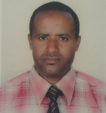 |
Dr. Lewoye Tsegaye | Assistant Professor Bahir Dar University Ethiopia | Impact Assessment on Watershed Hydrology and Soil Erosion Under Land Use Land Cover and Climate Change Scenarios in Rib and Gumara Watersheds, Ethiopia. (Defended on 29-April-2021) | 2016 -2021 |
| Image | Name | Project Title/Area of Research | Duration | ||
| 1 | 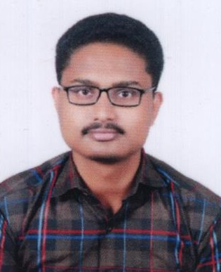 |
Vishal Akhilesh Singh | Characterisation of Moraine Dammed Lakes Sediments and Slope Stability Analysis | 2021 -2023 | |
| 2 | 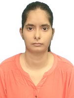 |
Rupam Yadav | Road Network Extraction from Remotely Sensed Images Using Deep Learning Techniques | 2021 -2023 | |
| 3 | 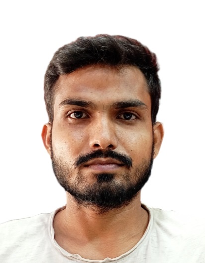 |
Shivam Saxena | Study of Earthquake Precursor Using Remote Sensing Technique | 2021 -2023 | |
| 4 |  |
Ghulam Hussain | Study on Rispana River Health | 2021 -2023 | |
| 5 |  |
Ajit Kumar Mishra | Analysis of highway alignment safety using geospatial techniques | 2020 -2022 | |
| 6 |  |
Mohd Galib | Analysing the urbanization pattern of Delhi NCR using remote sensing and machine learning | 2020 -2022 | |
| 7 |  |
Abhinab Bora | Landslide susceptibility and debris flow analysis in Kharghuli hills using RAMMS | 2019 -2021 | |
| 8 |  |
Patel Vatsal Dharmeshkumar | Study of the mass balance and estimation of glacier melt of eastern Himalayan glaciers using surface energy balance model | 2019 -2021 | |
| 9 |  |
Nirdesh Kumar Sharma | Soil moisture change detection and mapping in a heterogeneous landuse with Sentinel Dataproducts | 2018 -2020 | |
| 10 |  |
Rishav Raj | Urban growth modeling for Guwahati city | 2018 -2020 | |
| 11 |  |
Vishnu Singh | Estimation of flow and its effect on fluvial geomorphology along downstream of the Teesta River | 2017 -2019 | |
| 12 |  |
Pooja Patel | Snow/Glacier Melt Modelling: Inferences from the Teesta River Basin | 2017 -2019 | |
| 13 |  |
Sandeep Kumar Mondal | Geological and Fluvial Investigation in Antoniadi Watershed, NW Syrtis Major, Mars | 2016 -2018 | |
| 14 |  |
Chintala Srivasaganapathi | Hydrogeomorphic Studies on Kameng River System | 2016 -2018 | |
| 15 |  |
Bhawana | Snow Depth Modelling Using a Hybrid Optical-SAR Approach. | 2022 -2024 | |
| 16 | 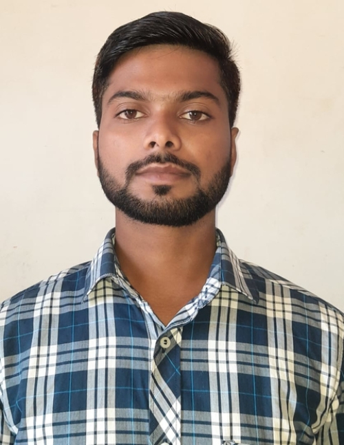 |
Sonu Kumar | Study of Uranium Mineralization in Parts of North-East India. | 2022 -2024 | |
| 17 | 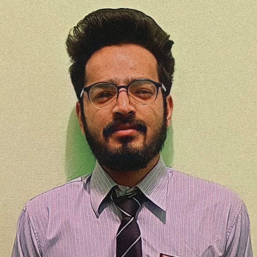 |
Rashid Hamid Baba | A Deep Learning Approach to Study Glacial Lakes of the Indian Himalayas Using Geospatial Technology. | 2023 -2025 | |
| 18 | 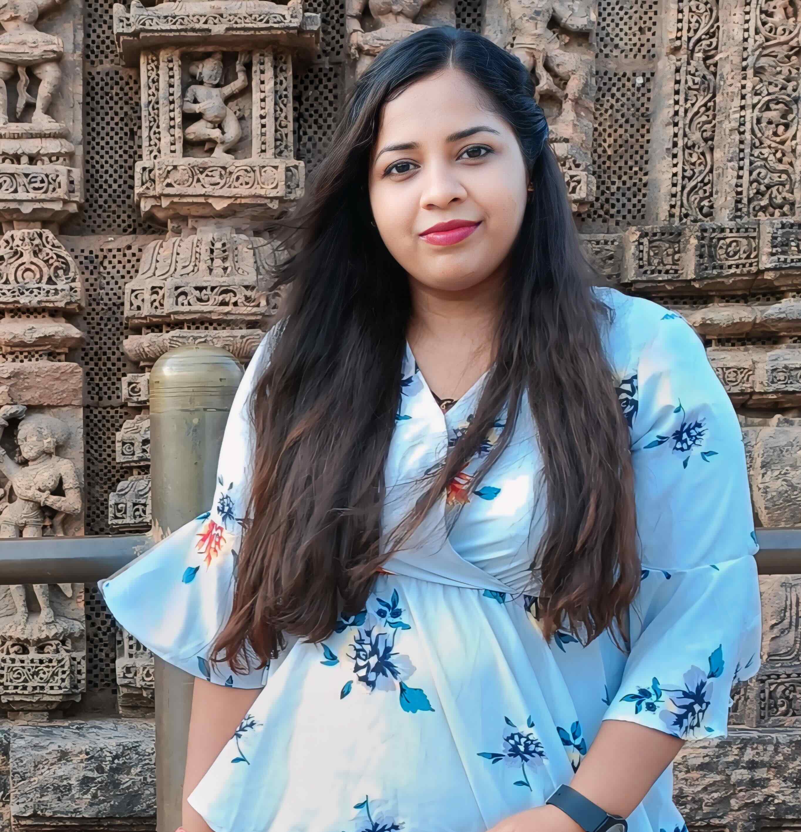 |
Rojalin Panda | Study of Road Surface Condition Using Remote Sensing Techniques. | 2023 -2025 |
| Image | Name | Project Title/Area of Research | Duration | ||
| 1 | 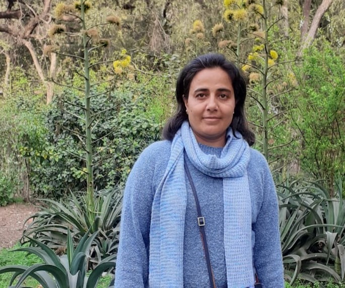 |
Dr. Anita Punia | Institute Postdoctoral Fellow (IPDF) | Estimation of Contaminants: A Spectroscopic Perspective | 2019 -2022 |
| Image | Name | Project Title/Area of Research | Duration | ||
| 1 | 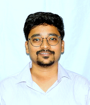 |
Chandan Pradhan | Assistant Professor, Department of Water Resources and Ocean Engineering, NITK Surathkal | Study of the Process-form Relationships in Continuum of Braided Channel Patterns. (Defended on 26-September-2022) | 2016 -2022 |
| 2 | Lekshmi K. | Remote Sensing Scientist Earth Observation - Satellite Application Group Plymouth Marine Laboratory, | Study of biogeochemical and climatological impacts on spatial and seasonal variability of air-sea CO2 fluxes over the Indian Ocean. (Defended on 17-May-2023) | 2016 -2023 | |
| 3 | 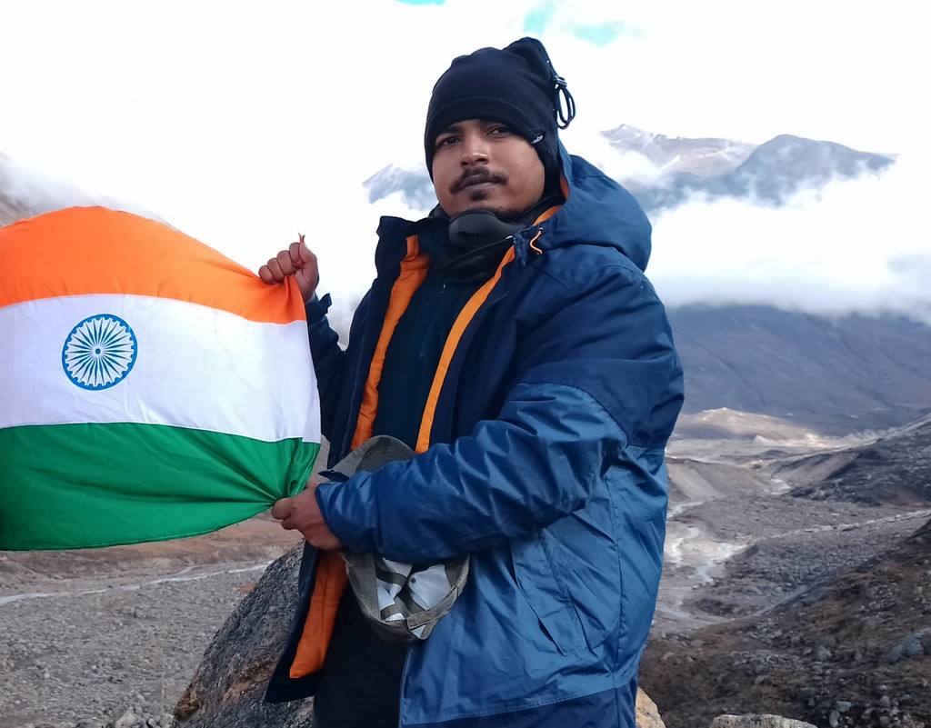 |
Sandeep Kumar Mondal | Project Scientist, National Centre for Polar and Ocean Research, Goa | Snow/Glacier Dynamics of Himalayan Ranges and Associated Hazards. (Defended on 26-June-2023) | 2018 -2023 |
| 4 | 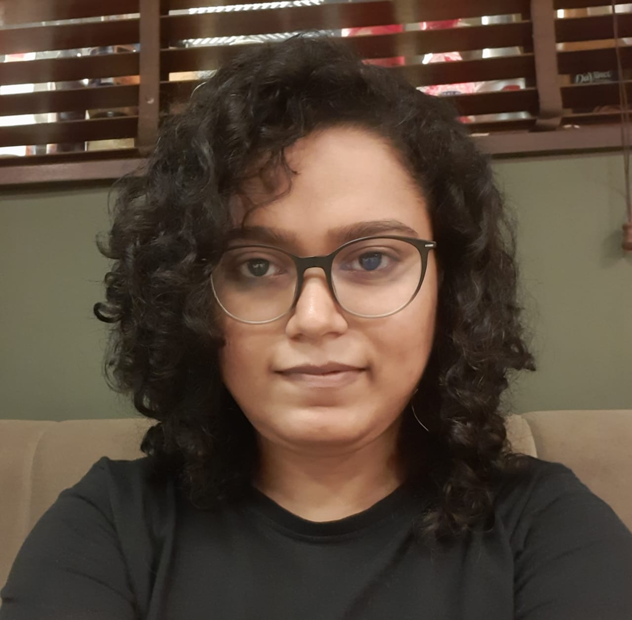 |
Sutapa Bhattacharjee | Post Doctoral Fellow The University of Sheffield, UK | Study of the impact of urban development on the microclimate of a tropical city: A geospatial approach. (28th March 2024) | 2017 -2024 |
| 5 | 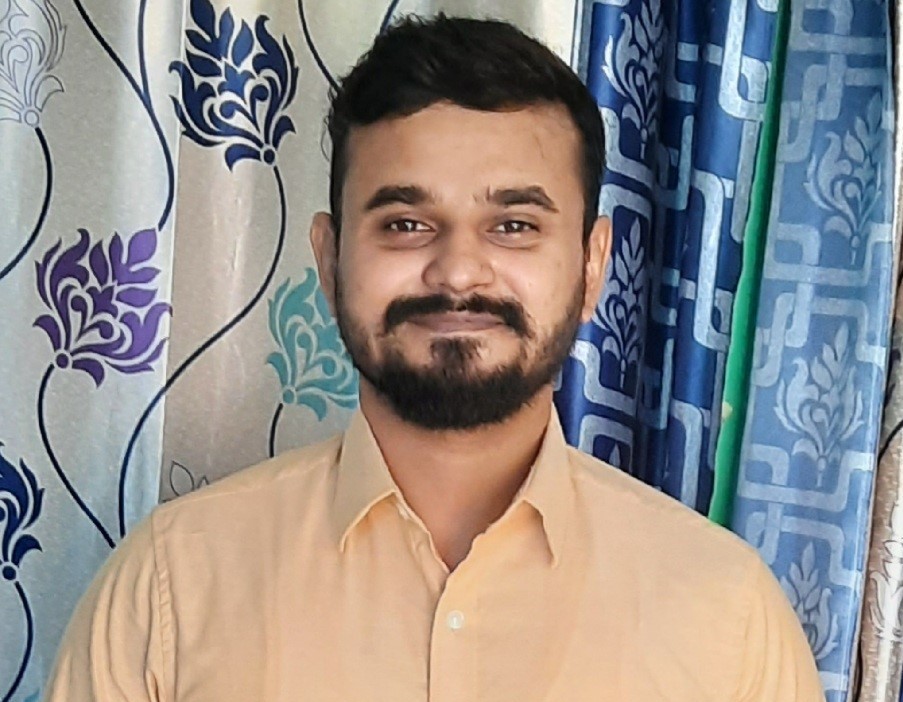 |
Manmit Kumar Singh | Thesis Submitted | Study of Snow Geophysical Parameters Using Advanced Geospatial Techniques: Inferences from Parts of Northeastern Indian Himalayas. | 2019 -2025 |
| 6 | 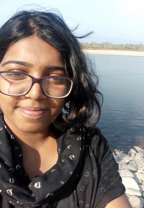 |
Ritu Anilkumar | Thesis Submitted | Study of Himalayan Glacier Mass Balance Processes Using Machine Learning. | 2020 -2025 |
| 7 | 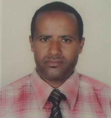 |
Dr. Lewoye Tsegaye | Assistant Professor Bahir Dar University Ethiopia | Impact Assessment on Watershed Hydrology and Soil Erosion Under Land Use Land Cover and Climate Change Scenarios in Rib and Gumara Watersheds, Ethiopia. (Defended on 29-April-2021) | 2016 -2021 |